The rainfall affecting central Chile could continue until mid-November, according to Cooperativa. Pamela Henríquez, head coordinator at Meteored Chile, outlined this forecast on El Diario de Cooperativa. According to the specialist, the rain would continue but gradually become less intense.
Henríquez explained that weather models show wetter-than-normal conditions for this time of year amid atmospheric instability. "At the moment, it looks as though October could end with the possibility of these conditions generating more storms, and this could continue until mid-November," she said.
In the immediate term, a low-pressure system off central Chile is moving south. This would concentrate rainfall between the Maule and La Araucanía regions, particularly along the coast and in the valleys, with totals of between 35 and 40 millimeters in a single day. Further spells of rain are also expected on Thursday and into Friday morning.
In the Metropolitan Region, Valparaíso and O'Higgins, according to Henríquez, "storms and rainfall could still develop again in the afternoons, at least until Friday."
The meteorologist said the Chilean Meteorological Directorate had issued an advisory for areas between Maule and La Araucanía over the possible formation of tornadic clouds. "It doesn't mean we're going to have a tornado, but there will be these very powerful clouds with considerable vertical development, which also bring thunderstorms and hail," she explained. She also mentioned the possible formation of waterspouts in coastal areas.
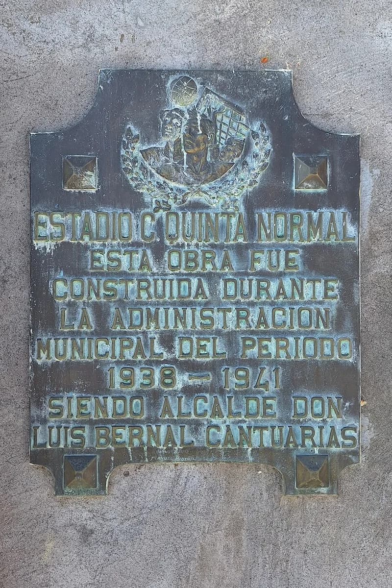
In Santiago, figures from the Quinta Normal station cited during the interview show accumulated rainfall of 275.9 millimeters, compared with a reference annual average of 286.3 millimeters. Henríquez calculated a surplus of 23.4% relative to the amount expected by this date. October alone saw 108 millimeters of rain, a high figure for a month that is usually dry in the capital.
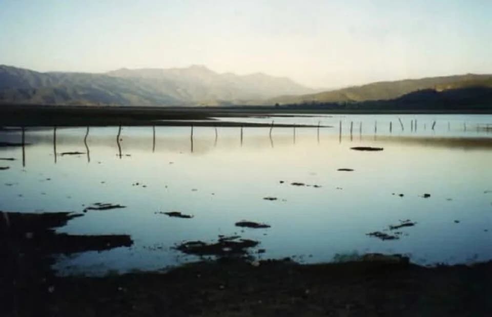
Even so, the specialist warned that the drought is not over. As an example, she cited Lake Peñuelas in the Valparaíso Region. Its reserves have increased, but the amount of water stored is still insufficient. "There are areas where there is still a long way to go," she said. She also explained that water recovery is uneven and that some reservoirs still need more water.
Cooperativa's report does not include specific recommendations for the public. For current alerts, the official source is the advisories issued by the Chilean Meteorological Directorate.
For the summer, Henríquez forecast that above-normal rainfall could coincide with high temperatures. She attributed this scenario to the expected intensification of El Niño and to global warming. "We could even have very extreme temperatures; heat waves and temperatures that are expected to reach 40 degrees," she said.