
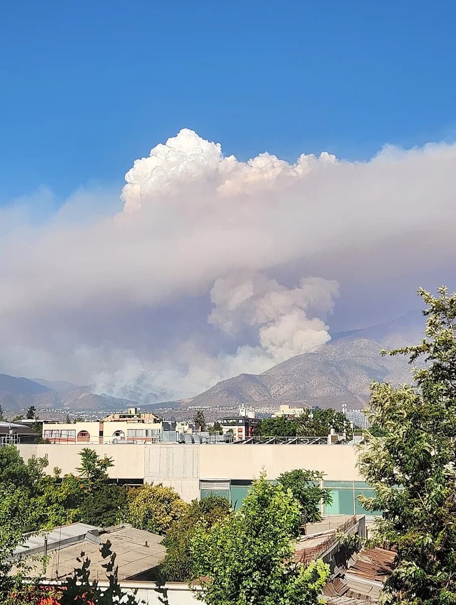
According to El Mostrador, the debris flow in San Carlos de Apoquindo, in Las Condes, occurred in a basin altered by urban expansion. There, the flow exceeded the capacity of the urban structures intended to channel water and sediment.
The outlet published an audiovisual report comparing images of eastern Santiago taken in 1993 and 2026. Over more than three decades, open land at the foot of the hills gave way to homes, streets and infrastructure.
According to the report, an intense storm hit the basin after significant rainfall. One question left by the emergency is whether the conduits were blocked. The text does not specify which conduits or who was responsible for maintaining them.
The article provides no figures on people displaced, homes affected or material losses from the debris flow. It also includes no statements from the Municipality of Las Condes or other state agencies.
El Mostrador argues that the problem goes beyond a conduit or an exceptional rainstorm. According to the accounts it gathered, there are weaknesses in land-use planning, and prevention efforts do not translate quickly enough into decisions about where to build and how to assess hazards.
The report brings other events into the discussion: evacuations in Talagante and debris flows in July in the Coquimbo Region. These are different areas, with previously known risks and communities suffering losses again.
In Talagante, the National Disaster Prevention and Response Service (Senapred) called for the evacuation of the Ribera del Río informal settlement because the Mapocho River had overflowed. It was the second emergency in less than a week for the settlement, which on October 8 required the evacuation of more than a thousand people.
Following the debris flow and storm in Santiago, the government announced it would accelerate studies to assess the purchase of weather radar systems, equipment that would help forecast heavy rainfall. There is still no date for that decision.